France’s storybook village of Rochefort-en-Terre, an Instagram favorite in Brittany, just got easier to explore on foot or by bike.
The local tourism office has released two updated, ready-to-use guidebooks that reorganize a sprawling network of routes across Rochefort-en-Terre and nearby towns, aiming to make the area’s outdoor options clearer for walkers, cyclists, and mountain bikers. One guide focuses on hiking; the other is built for two wheels.
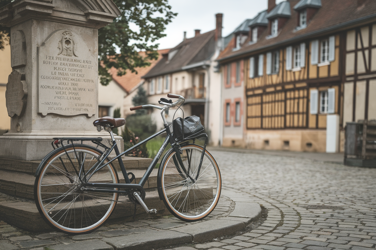
Two separate guides, one for hikers, one for cyclists
Sommaire
Rochefort-en-Terre Tourisme published two distinct booklets, according to the French outlet Maville. The hiking edition runs 55 pages, designed for people navigating by landmarks, trail markers, and turn-by-turn cues that matter when you’re moving at walking speed.
The second guide is a 40-page cycling and mountain biking edition. That split isn’t just cosmetic: bike routes live or die on continuity, road surface, safe connectors between loops, and avoiding dead ends or sketchy stretches that might be fine on foot but miserable (or dangerous) on a bike.
Think of it like separating driving directions from a walking map in a U.S. national park. Same landscape, different needs, and fewer wrong turns when the information is tailored to how you actually travel.
The bike guide stretches beyond Rochefort-en-Terre
The cycling/MTB guide doesn’t stop at the village limits. Maville reports it also covers routes through Molac, Questembert, Limerzel, Pluherlin, and Saint-Gravé, an explicitly regional approach that reflects how cyclists plan rides in the real world.
Most riders don’t care where one municipality ends and another begins. They care about loop logic, ride time, scenery, and whether the connectors make sense when you’re trying to stitch together a half-day spin or a longer outing.
How big is the network? Questembert touts more than 186 miles of routes
The guides land in a place that already markets itself as an outdoor hub. On its official website, the town of Questembert and its surrounding community promote more than 300 kilometers of walks and hikes, about 186 miles, spanning everything from casual strolls to cycling itineraries.
That kind of mileage is a selling point, but it can also overwhelm visitors. Once a trail network gets that large, the challenge isn’t just building routes, it’s maintaining them, updating descriptions, and making sure intersections and alternates are clearly documented.
Local coverage also notes that the circuits have been updated, a key detail for anyone who’s ever followed an outdated map to a washed-out path or a rerouted trail. “Updated” can mean new signage, changed access, revised directions, or tweaks that better match what’s actually on the ground.
Paper guides vs. apps: travelers are using both
These new print guides arrive in a world where many hikers and cyclists default to their phones. Outdoor platforms such as Decathlon Outdoor (a major European sporting-goods retailer, roughly akin to REI in the U.S.) highlight routes around Questembert with interactive maps, user photos, and community reviews.
There are also broader route databases advertising dozens of nearby circuits, one listing cited in local reporting points to 90 routes across multiple Breton departments, roughly comparable to counties or regions.
The competition isn’t really paper versus digital. For many travelers, the guidebook is the curated “official” pick, what to do and why, while the app is the cockpit: GPS navigation, real-time feedback, and on-the-fly adjustments when plans change.
What American travelers should know about the “GR” routes
The guides also reference “GR” trails, France’s long-distance, waymarked hiking routes (short forGrande Randonnée). For Americans, the closest comparison is a network of established long trails and connectors, less like a single Appalachian Trail-style corridor, more like a backbone system that local loops can plug into.
That matters because it helps visitors build trips that scale up: a short loop for an afternoon, or a longer point-to-point day that ties into a bigger regional route.

